









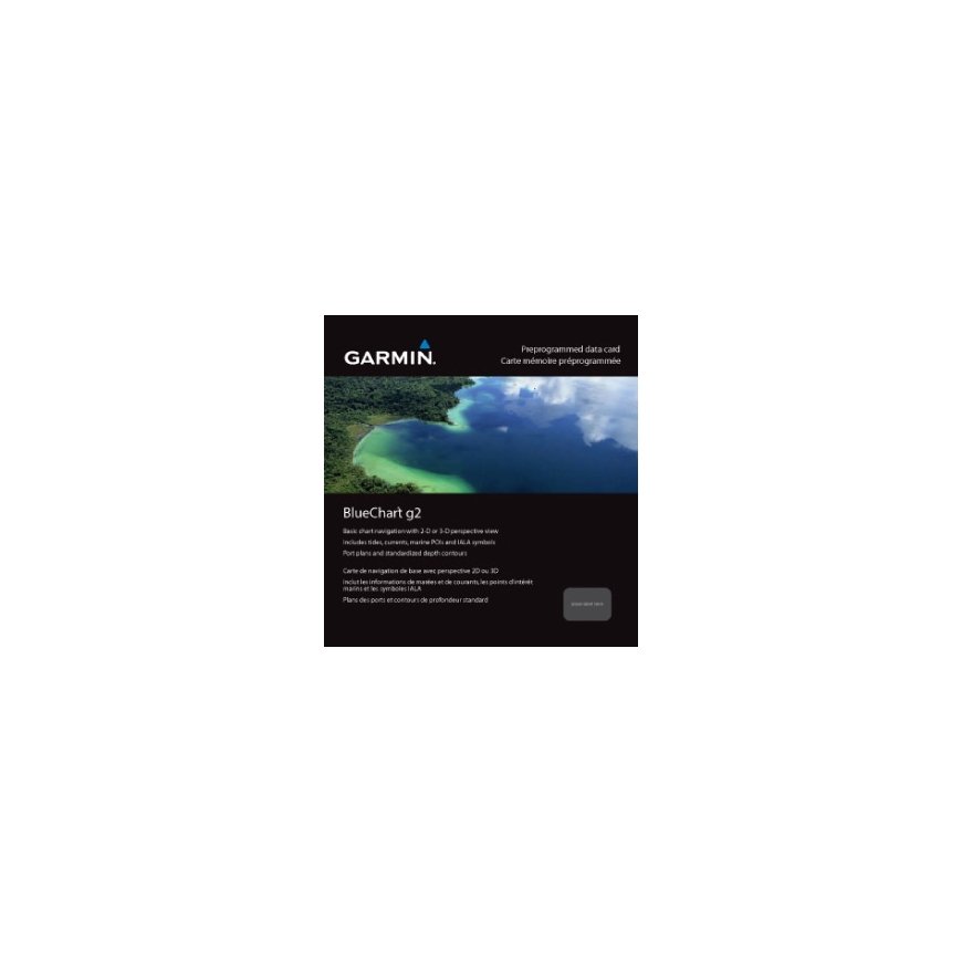
The product's shade and actual color may differ from what is shown in the picture, as the images are for illustrative purposes. The product description is general and may not include all the product's features.
Garmin BlueChart g2 HXEU050R Road map
169,55 €
Monthly payment from 5.27 €
3639967 010-C0786-20
0753759091941, 0014445604082
Shipping 1-2 b.d.
You are interested in this product?
- Features smooth displays, including seamless transitions between zoom levels and more continuity across chart boundaries.
- Allows users to choose between standard 2-D direct overhead or 3-D "over the bow" map perspective to make chart reading and orientation easier.
- Provides Safety Shading (in compatible units), allowing mariners to enable contour shading for all depth contours shallower than user-defined safe depths.
- Provides Fishing Charts (in compatible units), allowing mariners to scope out bottom contours and depth soundings with less visual clutter on the display.
- Allows users to conveniently plan and organize routes, from your computer, before your trip with HomePort™, compatible trip-planning software (sold separately).
System requirements | |
| Minimum processor | Intel, PowerPC G4 |
| Minimum RAM | 1024 MB |
Other features | |
| Geographic coverage | Aland - Vyborg |